
File:(Barcelona) El Tibidabo, l'observatori Fabra - exposició sud-est.jpg
Size of this preview: 800 × 374 pixels. Other resolutions: 320 × 150 pixels | 640 × 299 pixels | 1,024 × 478 pixels | 1,280 × 598 pixels | 2,200 × 1,028 pixels.
Original file (2,200 × 1,028 pixels, file size: 1.61 MB, MIME type: image/jpeg)
| This is a file from the Wikimedia Commons. Information from its description page there is shown below. Commons is a freely licensed media file repository. You can help. |
Summary
|
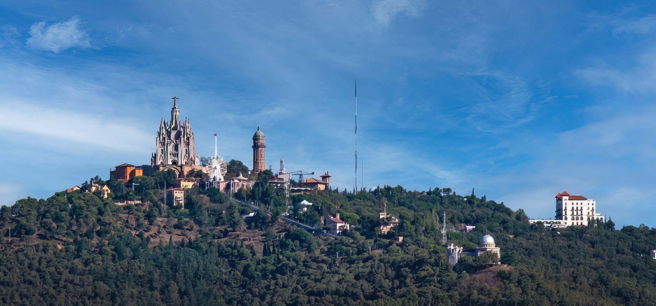
The Tibidabo, the Fabra observatory - south-east exposure - Barcelona | |||||||||||||||||||
|
| |||||||||||||||||||

_El_Tibidabo,_l%27observatori_Fabra_-_exposici%C3%B3_sud-est.jpg)
_El_Tibidabo,_l%27observatori_Fabra_-_exposici%C3%B3_sud-est.jpg)
_El_Tibidabo,_l%27observatori_Fabra_-_exposici%C3%B3_sud-est.jpg¶ms=041.421667_N_0002.119434_E_globe:Earth_class:object_type:object__&language=en)
File history
Click on a date/time to view the file as it appeared at that time.
| Date/Time | Thumbnail | Dimensions | User | Comment | |
|---|---|---|---|---|---|
| current | 15:41, 10 December 2022 | | 2,200 × 1,028 (1.61 MB) | Archaeodontosaurus | {{Information |Description= |Source={{own}} |Date= |Author= Archaeodontosaurus |Permission= |other_versions= }} |
File usage
The following pages on the English Wikipedia use this file (pages on other projects are not listed):
Global file usage
The following other wikis use this file:
- Usage on fr.wikipedia.org
_El_Tibidabo,_l%27observatori_Fabra_-_exposició_sud-est.jpg)